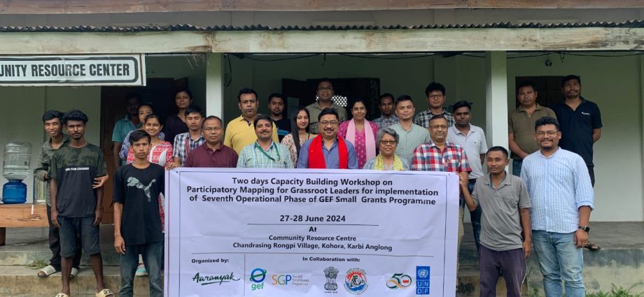
Kaziranga: A two-day workshop on participatory mapping for grassroots leaders for implementation of the seventh operational phase of GEF small grants was organised collaboratively by TERI (The Energy and Resource Institute) and Aaranyak recently.
The workshop was organised on June 27-28 at the Community Resource Centre, Chandrasing Rongpi Memorial High School, Chandrasing Rongpi of Kaziranga-Karbi Anglong landscape in Assam. A diverse group of 10 representatives from various organisations participated in the workshop focusing on different thematic areas ranging from livelihood to health and nutrition to sustainable agriculture.
The training aimed to facilitate interdisciplinary collaboration and standardise skills across sectors. It also sought to encourage the adoption of spatial technologies, facilitate data integration and enhance problem-solving capabilities. By demonstrating the value of GIS and GPS in different organisational contexts, the training served as a catalyst to improve the decision-making process, building capacity and creating a network of skilled professionals who can share knowledge and best practices. Representatives from multiple organisations in Guwahati, Nalbari, Jorhat and Shillong participated in the event.
The event saw the presence of a team of experts including Nandita Hazarika, Consultant, TERI; Arup Kumar Das, Senior manager, Aaranyak; Dr. Dipankar Saharia, Senior Director, Administrative Services, TERI; Dr. Firoz Ahmed, Senior scientist in Aaranyak; Jayanta Kumar Sarma, Senior Programme Associate, Natural Resource Management Programme in Aaranyak and Sourav Gupta, Senior Researcher in Aaranyak. Special guests included Sounika Karmakar, Regional Co-ordinator NE region, UNDP – GEF, small grants programme in TERI and Manish Kumar Pandey, National Coordinator in TERI.
The workshop’s curriculum was meticulously designed to cover both theoretical concepts and practical applications. Day one of the workshop was focused on introducing space, place and map reading concepts, followed by sessions on participatory mapping approaches by Jayanta Kumar Sarma and Sarlongjon Teron for rural development planning and a case study on natural resource mapping at Kaziranga-Karbi Anglong Landscape. Participants also received hands-on training in using GPS devices and smartphones for data collection.
The second day was dedicated to field data collection and practical application of the learned skills. Participants engaged in land use mapping exercises and learned to transform field data into maps using Google Earth software. The day concluded with group presentations of the maps created during the workshop.
